2. QGIS Setup
Note
If you have already installed QGIS, you can skip this section.
2.1. What is QGIS
QGIS is a desktop Geographic Information System (GIS) application that supports viewing, editing and analysis of geospatial data. QGIS is free and open source, and offers a viable alternative to commercial software such as ArcGIS.
We’ll be using QGIS to visualise and manipulate radar data from ALOS-1.
2.2. Downloading QGIS
You can download QGIS from the QGIS website. Make sure you choose the correct version, which is Long term release, QGIS Standalone Installer for Windows. Most users will require the 64-bit version, but if you’re have an older laptop you might need to download the 32-bit version.
If you’re struggling to find the correct version, you can also download it (Windows, 64-bit) directly here (392 MB).
Note
Are you using Linux or Mac, you may need to download a different version to that above. If accessing this large volume of data is a problem, we’ll bring along copies of QGIS to the workshop for you to install.
2.3. Installing QGIS
Once the download is complete, navigate to your Downloads folder, and run the executable named QGIS-OSGeo4W-2.18.28-1-Setup-x86_64.exe (or similar).
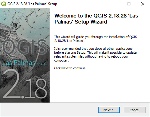
This will open the QGIS installer. You can accept all default settings. Click Next:
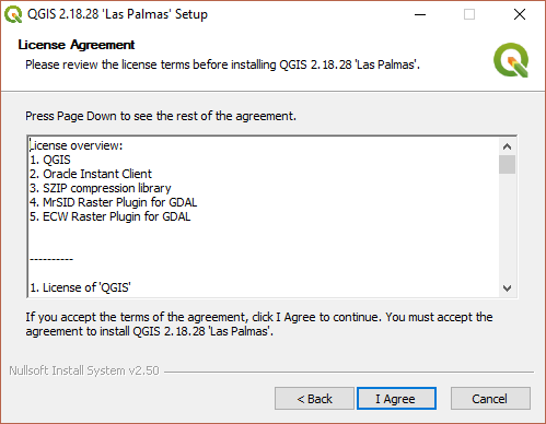
Then ‘I Agree’:
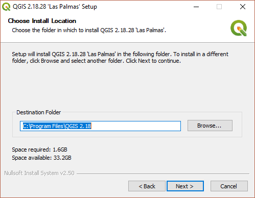
Then Next:
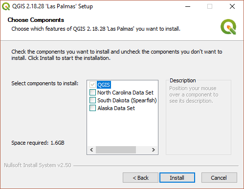
Then Install:
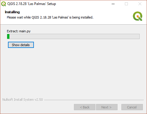
…and wait until the installation is complete:
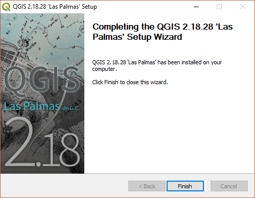
Press Finish to complete the installation.
2.4. Running QGIS
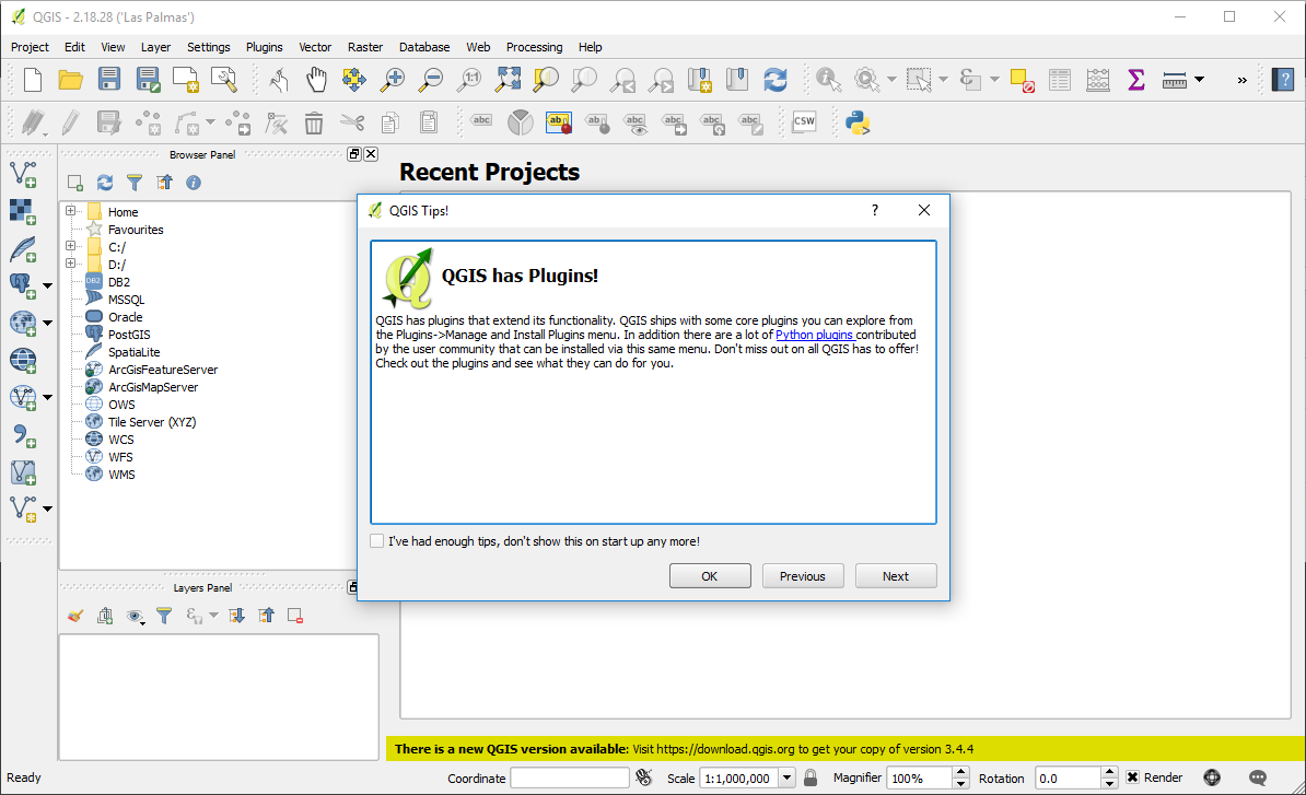
To run QGIS, navigate to your install through the start menu, and Run QGIS Desktop 2.18.28 or similar.
If your installation is successful, you should see an interface that looks something like the following:
2.5. Installation problems?
If something isn’t working for you, please feel free to get in touch with sam.bowers@ed.ac.uk.